About my research

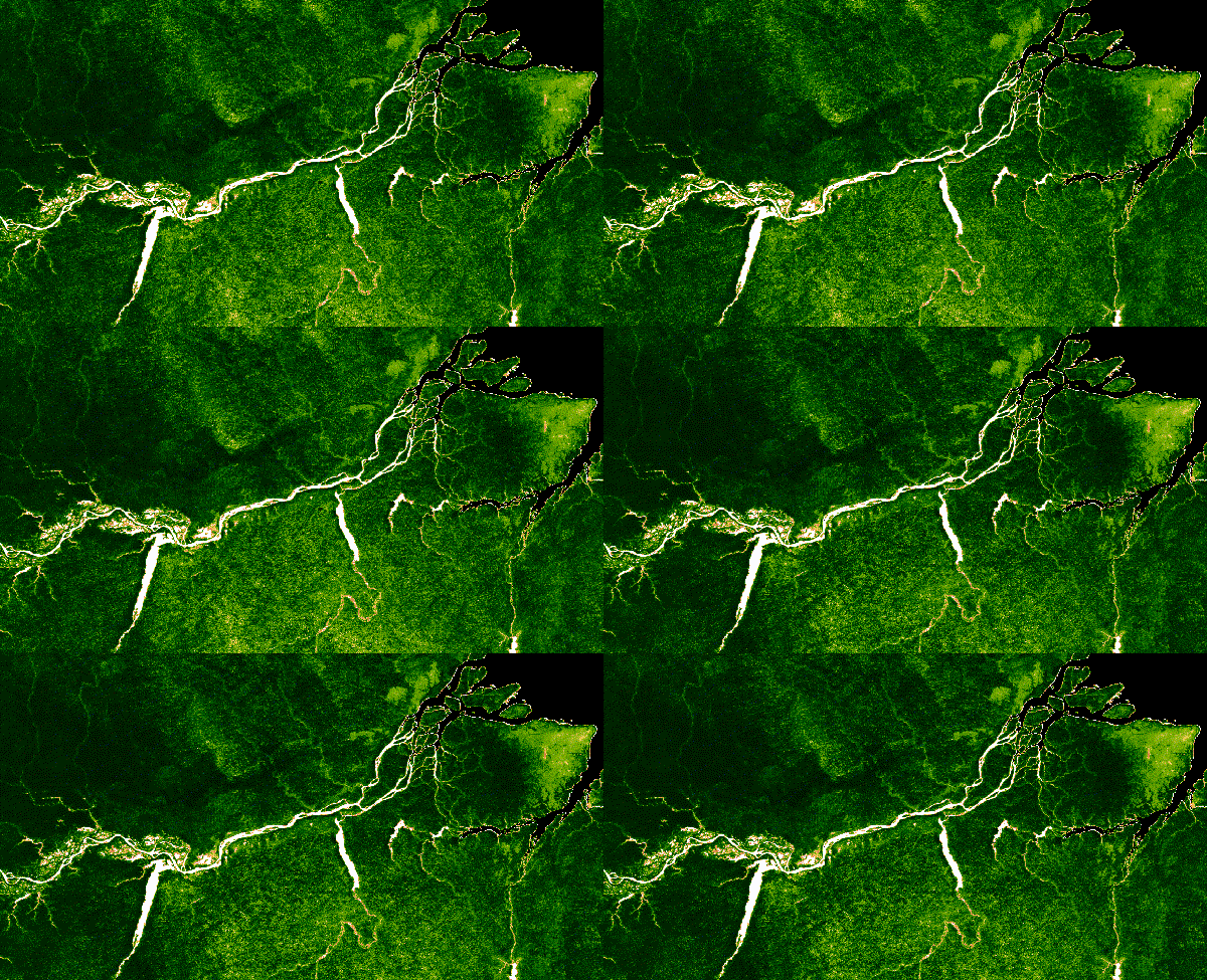
Time Series animation showing deforestation over time in the Amazon. Made with satellite imagery from Landsat using Google Earth Engine.
Through my research, I aim to illuminate techniques to make tools associated with Geographic Information Science (GIScience) more accessible to diverse audiences. With the proliferation and increased availability of spatial technologies comes seemingly endless opportunities to collect and share spatial data contributing to big data. The hard part is revealing unknowns, to identify patterns in big data that would otherwise go unnoticed. My research places special emphasis on the use of open data for environmental change communication. I aim to use interactive web-based tools in an effort to transfer open environmental data into information, making it more accessible to diverse audiences. In the process I evaluate the tools and interactive visualization effectiveness based on learning outcomes.
As a GIScience researcher, I seek to identify the most efficient ways to visualize and understand these big data in an interactive fashion. I strive to investigate and test accessible methods of capturing and visualizing spatial data interactively. I view teaching as an opportunity to invite more and diverse perspectives to address these challenges and assist in the process of revealing patterns in spatial data. The ultimate aim is to use this analysis to inform decision making regarding environmental resources and social services.
I am experimenting with new, low-cost, accessible geospatial technologies in an effort to enhance existing data collection and map making techniques. From drones, to smartphones, 360 cameras, I am trying them all. I have learned that the tool will influence who is interested in the output and who is insterested in participating in the research itself.
In the past, I have conducted research related to injury survalliance, disaster preparedness, floodplain management mapping, participatory mapping in Barbados, and more. Currently, my research focuses on monitoring and communicating the United Nations Sustainable Development Goals, their associated targets and indicators.