About
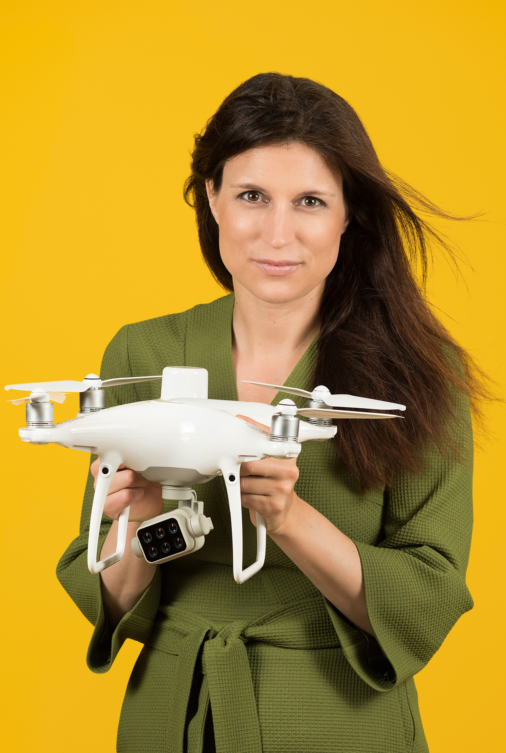
As a faculty member at the Copernicus Institute for Sustainable Development, I am looking for new and innovative ways to use geospatial technologies to help ensure there is a healthy planet for future generations. I recently published a cartography textbook with the United Nations (UN) about how to map the UN Sustainable Development Goal indicator data. As a member of the Environmental Science group, in my research I primarily use Earth Observation data from satellites to help monitor the environment at different scales. From small island states to the global scale. I mentor students who are doing a wide range of creative projects experimenting with using open data for measuring solar potential in data poor cities, to using citizen science to monitor butterfly species in parks. See the writing section of this website to read more about my published research. I am regularly invited to lecture about my research at industry events, academic and professional conferences, lecture series (University of Bayreuth and University of Erlangen in Germany 2022, Utrecht University Stadium General Lecture 2021, Leeuwarden Library Open Science Day), government institutions (Aruba Census and Aruba SDG task force 2022), and within different United Nations units including the Statistics Division Committee of Experts on Global Geospatial Information Management (UN-GGIM), Economic Commission for Latin America and the Caribbean (ECLAC) and UN Women, as well as the industry conference the Geospatial World Forum.
